File:Broadway (A663), Chadderton - Geograph - 2247981.jpg
Jump to navigation
Jump to search

No higher resolution available.
Broadway_(A663),_Chadderton_-_Geograph_-_2247981.jpg (640 × 480 pixels, file size: 66 KB, MIME type: image/jpeg)
| |||||||||||||||||||||||||
|
Galleries | A663 | M60 J21 | Traffic Signals | ||
File history
Click on a date/time to view the file as it appeared at that time.
| Date/Time | Thumbnail | Dimensions | User | Comment | |
|---|---|---|---|---|---|
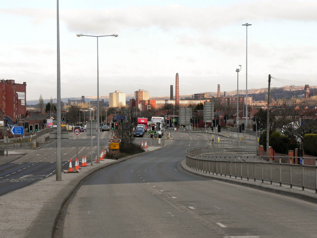
| current | 20:07, 1 June 2016 | | 640 × 480 (66 KB) | Jeni (talk | contribs) | '''Broadway (A663), Chadderton''' Looking north, along Broadway, towards the junction with the M60, Manchester Outer Ring Road. |
,_Chadderton_-_Geograph_-_2247981.jpg&oldid=417415)