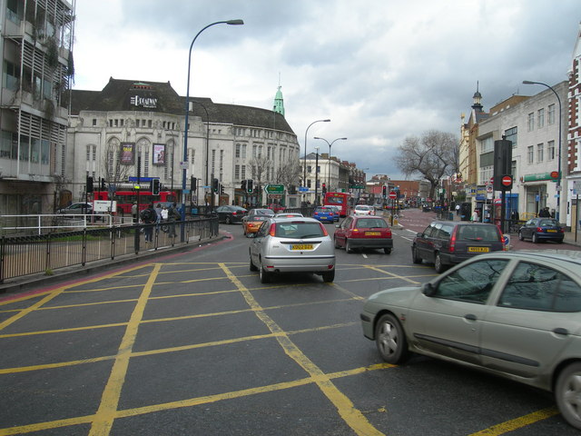
File:Bromley Road, SE6 - Geograph - 349002.jpg
Jump to navigation
Jump to search

No higher resolution available.
Bromley_Road,_SE6_-_Geograph_-_349002.jpg (640 × 480 pixels, file size: 117 KB, MIME type: image/jpeg)
| |||||||||||||||||||||||||
|
Galleries | A21 | A205 | London | Catford Gyratory | Traffic Signals | ||
File history
Click on a date/time to view the file as it appeared at that time.
| Date/Time | Thumbnail | Dimensions | User | Comment | |
|---|---|---|---|---|---|
| current | 15:12, 13 November 2009 | | 640 × 480 (117 KB) | Chris5156 (talk | contribs) | {{Information |description = Bromley Road, SE6 |day = 25 |month = 02 |year = 2007 |photographer = © Copyright [http://www.geograph.org.uk/profile/5299 Danny Robinson] and licensed for reuse under [http://creativecommons.org/licen |
File usage
The following 3 pages use this file: