File:Brookmill Road (C) Dr Neil Clifton - Geograph - 1672085.jpg
Jump to navigation
Jump to search

No higher resolution available.
Brookmill_Road_(C)_Dr_Neil_Clifton_-_Geograph_-_1672085.jpg (640 × 480 pixels, file size: 122 KB, MIME type: image/jpeg)
| |||||||||||||||||||||||||
|
Galleries | A2210 | ||
File history
Click on a date/time to view the file as it appeared at that time.
| Date/Time | Thumbnail | Dimensions | User | Comment | |
|---|---|---|---|---|---|
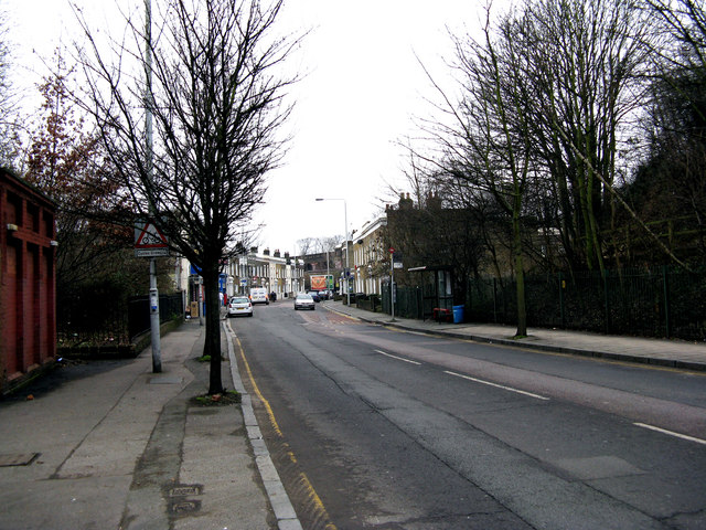
| current | 20:58, 3 November 2013 | | 640 × 480 (122 KB) | Vlad (talk | contribs) | '''Brookmill Road (C) Dr Neil Clifton '''<br/>Looking south-east. Brookmill Road is not overly busy, but is in fact part of an A road, the A2210. |
File usage
The following 2 pages use this file:
_Dr_Neil_Clifton_-_Geograph_-_1672085.jpg&oldid=357699)