File:Buckland Hollow - Geograph - 1231561.jpg

From Roader's Digest: The SABRE Wiki
Jump to navigation Jump to search

Buckland_Hollow_-_Geograph_-_1231561.jpg(640 × 472 pixels, file size: 97 KB, MIME type: image/jpeg)

Y topleft.gifY topright.gif
Description:
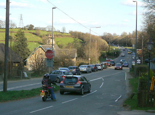
Buckland Hollow
The B6013 crosses the A610 primary route by means of a dog-leg junction. Although the further part is controlled with traffic lights, the approach from the Heage direction is particularly difficult because of the narrow angle, limited visibility and steep approach.
Location:53.062313, -1.441132
Road:B6013, A610
Date:01 04 2009
Photographer:� Copyright Alan Murray-Rust and licensed for reuse under this Creative Commons Licence
Source:Geograph

Map

Y btmleft.gifY btmright.gif

Galleries  | B6013 | A610 | Flag Sign | Speed limit sign | S2 | Traffic Signals | Regulatory Sign/Stop

File history

Click on a date/time to view the file as it appeared at that time.

Date/TimeThumbnailDimensionsUserComment
current19:51, 29 March 2010Thumbnail for version as of 19:51, 29 March 2010640 × 472 (97 KB)Bob@romiley1 (talk | contribs)'''Buckland Hollow'''<br/>The B6013 crosses the A610 primary route by means of a dog-leg junction. Although the further part is controlled with traffic lights, the approach from the Heage direction is particularly difficult because of the narrow angle, li

The following 3 pages use this file:

Metadata

SABRE - The Society for All British and Irish Road Enthusiasts
Discuss - Digest - Discover - Help