File:Building work in Jesus Lane - Geograph - 5190085.jpg
Jump to navigation
Jump to search

Size of this preview: 600 × 600 pixels. Other resolution: 640 × 640 pixels.
Original file (640 × 640 pixels, file size: 139 KB, MIME type: image/jpeg)
| |||||||||||||||||||||||||
|
Galleries | C291 (Cambridgeshire) | Traffic Signals | Cambridge | ||
File history
Click on a date/time to view the file as it appeared at that time.
| Date/Time | Thumbnail | Dimensions | User | Comment | |
|---|---|---|---|---|---|
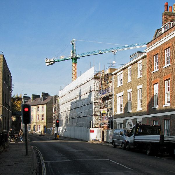
| current | 09:56, 6 January 2018 | | 640 × 640 (139 KB) | C2r (talk | contribs) | '''Building work in Jesus Lane''' Extensive redevelopment by Jesus College and Wesley House is going on. |
File usage
The following page uses this file: