File:Bull Close Road, Norwich - Geograph - 5298945.jpg
Jump to navigation
Jump to search

No higher resolution available.
Bull_Close_Road,_Norwich_-_Geograph_-_5298945.jpg (640 × 480 pixels, file size: 77 KB, MIME type: image/jpeg)
| |||||||||||||||||||||||||
File history
Click on a date/time to view the file as it appeared at that time.
| Date/Time | Thumbnail | Dimensions | User | Comment | |
|---|---|---|---|---|---|
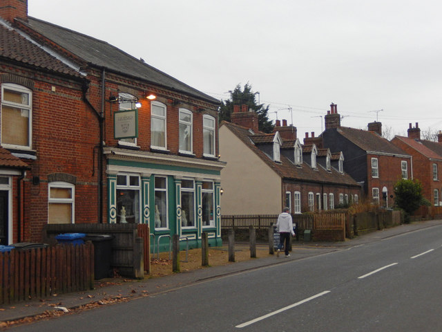
| current | 19:24, 13 March 2017 | | 640 × 480 (77 KB) | Vlad (talk | contribs) | '''Bull Close Road, Norwich''' Part of the A1151 leading out of Norwich towards Wroxham. The pub on the left is called The Leopard. |
File usage
The following 4 pages use this file: