File:Buncer Lane, Witton, Blackburn - Geograph - 2692157.jpg
Jump to navigation
Jump to search

No higher resolution available.
Buncer_Lane,_Witton,_Blackburn_-_Geograph_-_2692157.jpg (640 × 434 pixels, file size: 100 KB, MIME type: image/jpeg)
| |||||||||||||||||||||||||
File history
Click on a date/time to view the file as it appeared at that time.
| Date/Time | Thumbnail | Dimensions | User | Comment | |
|---|---|---|---|---|---|
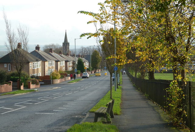
| current | 16:02, 8 March 2021 | | 640 × 434 (100 KB) | Ross spur (talk | contribs) | '''Buncer Lane, Witton, Blackburn''' Looking down the hill from near wensley Road |
File usage
The following 2 pages use this file: