File:Burnt Tree Junction - Geograph - 4736905.jpg
Jump to navigation
Jump to search

No higher resolution available.
Burnt_Tree_Junction_-_Geograph_-_4736905.jpg (640 × 480 pixels, file size: 63 KB, MIME type: image/jpeg)
| |||||||||||||||||||||||||
|
Galleries | A4123 | A461 | Burnt Tree | Dudley | ||
File history
Click on a date/time to view the file as it appeared at that time.
| Date/Time | Thumbnail | Dimensions | User | Comment | |
|---|---|---|---|---|---|
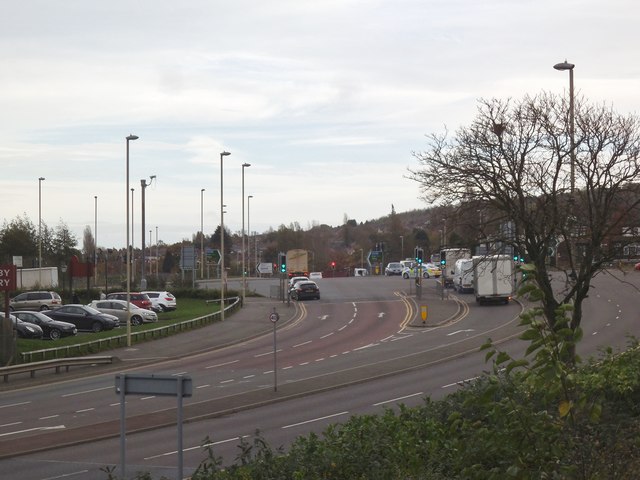
| current | 08:29, 12 November 2017 | | 640 × 480 (63 KB) | C2r (talk | contribs) | '''Burnt Tree Junction''' The view from the supermarket car park of the A4123 junction at Burnt Tree, Dudley. |
File usage
The following 2 pages use this file: