File:Burton Bridge - Geograph - 6424041.jpg
Jump to navigation
Jump to search

No higher resolution available.
Burton_Bridge_-_Geograph_-_6424041.jpg (640 × 480 pixels, file size: 183 KB, MIME type: image/jpeg)
| |||||||||||||||||||||||||
|
Galleries | Burton Bridge (West Burton) | Pictures from Geograph | ||
File history
Click on a date/time to view the file as it appeared at that time.
| Date/Time | Thumbnail | Dimensions | User | Comment | |
|---|---|---|---|---|---|
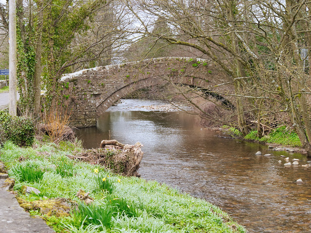
| current | 10:01, 10 January 2021 | | 640 × 480 (183 KB) | C2r (talk | contribs) | '''Burton Bridge''' Late eighteenth/early 19th century stone bridge over Walden Beck at West Burton. It is a Grade II listed building (Historic England List Entry Number:1178990 https://historicengland.org.uk/listing/the-list/list-entry/1178990 ). |
File usage
The following 2 pages use this file: