File:Burton Ferry - End Of The Road - Geograph - 1416789.jpg
Jump to navigation
Jump to search

No higher resolution available.
Burton_Ferry_-_End_Of_The_Road_-_Geograph_-_1416789.jpg (640 × 480 pixels, file size: 211 KB, MIME type: image/jpeg)
| |||||||||||||||||||||||||
|
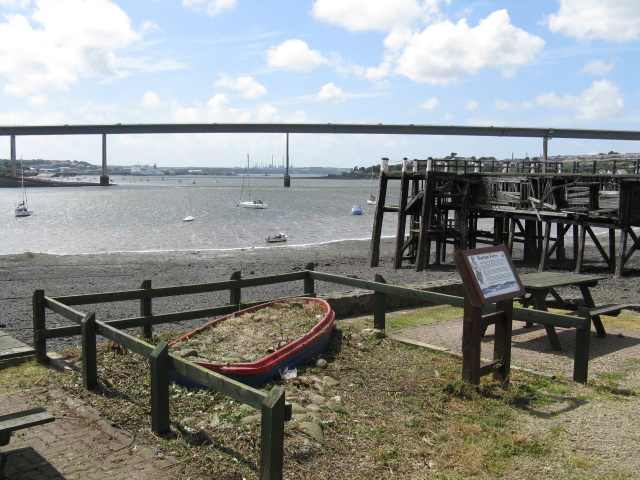
Galleries | A477 | Pembroke Dock | Cleddau Bridge | ||
File history
Click on a date/time to view the file as it appeared at that time.
| Date/Time | Thumbnail | Dimensions | User | Comment | |
|---|---|---|---|---|---|
| current | 00:36, 13 November 2009 | | 640 × 480 (211 KB) | Jeni (talk | contribs) | {{Information |description = Burton Ferry - End Of The Road |day = 23 |month = 07 |year = 2009 |photographer = © Copyright [http://www.geograph.org.uk/profile/25788 Peter Whatley] and licensed for reuse under [http://creativecomm |
File usage
There are no pages that use this file.