File:Bus stop on the road to Chacewater (C) Rod Allday - Geograph - 1621911.jpg
Jump to navigation
Jump to search

No higher resolution available.
Bus_stop_on_the_road_to_Chacewater_(C)_Rod_Allday_-_Geograph_-_1621911.jpg (640 × 480 pixels, file size: 77 KB, MIME type: image/jpeg)
| |||||||||||||||||||||||||
|
Galleries | A392 (Truro - Redruth) | A390 | ||
File history
Click on a date/time to view the file as it appeared at that time.
| Date/Time | Thumbnail | Dimensions | User | Comment | |
|---|---|---|---|---|---|
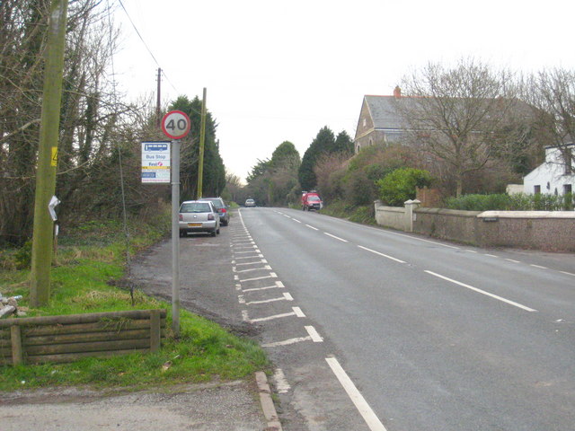
| current | 20:43, 30 January 2014 | | 640 × 480 (77 KB) | Vlad (talk | contribs) | '''Bus stop on the road to Chacewater (C) Rod Allday '''<br/>Although this is an unclassified road, it is a very busy one, as it offers an alternative route from Redruth to Truro to the A30/A390 option. |
File usage
The following 3 pages use this file:
_Rod_Allday_-_Geograph_-_1621911.jpg&oldid=362129)