File:Bushbury roundabout - Geograph - 2858477.jpg
Jump to navigation
Jump to search

No higher resolution available.
Bushbury_roundabout_-_Geograph_-_2858477.jpg (640 × 480 pixels, file size: 51 KB, MIME type: image/jpeg)
| |||||||||||||||||||||||||
|
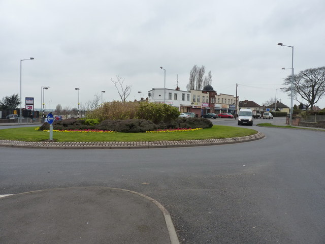
Galleries | U120 (Wolverhampton) | Bushbury Island | Wolverhampton | ||
File history
Click on a date/time to view the file as it appeared at that time.
| Date/Time | Thumbnail | Dimensions | User | Comment | |
|---|---|---|---|---|---|
| current | 14:37, 2 August 2016 | | 640 × 480 (51 KB) | Steven (talk | contribs) | '''Bushbury Island''', Wolverhampton looking northwest. |
File usage
The following 3 pages use this file: