File:Byard's leap - Geograph - 1985195.jpg
Jump to navigation
Jump to search

No higher resolution available.
Byard's_leap_-_Geograph_-_1985195.jpg (640 × 426 pixels, file size: 158 KB, MIME type: image/jpeg)
| |||||||||||||||||||||||||
|
Galleries | A17 | Byards Leap | ||
File history
Click on a date/time to view the file as it appeared at that time.
| Date/Time | Thumbnail | Dimensions | User | Comment | |
|---|---|---|---|---|---|
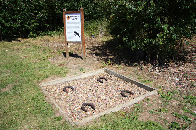
| current | 21:03, 30 April 2017 | | 640 × 426 (158 KB) | C2r (talk | contribs) | '''Byard's leap''' According to local legend, hundreds of years ago, an ugly old witch called Meg and her black cat were held responsible for failing crops and dying cattle on Ancaster Heath. A local knight 'Big Jim' and his trusty steed Byard approach... |
File usage
The following 2 pages use this file: