File:C18 Tenement on West Glen Road - Geograph - 5708164.jpg
Jump to navigation
Jump to search

No higher resolution available.
C18_Tenement_on_West_Glen_Road_-_Geograph_-_5708164.jpg (640 × 344 pixels, file size: 139 KB, MIME type: image/jpeg)
| |||||||||||||||||||||||||
|
Galleries | C18 (Inverclyde) | ||
File history
Click on a date/time to view the file as it appeared at that time.
| Date/Time | Thumbnail | Dimensions | User | Comment | |
|---|---|---|---|---|---|
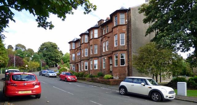
| current | 12:31, 18 February 2021 | | 640 × 344 (139 KB) | Tam nugent (talk | contribs) | A red sandstone tenement overlooking the park on West Glen Road. |
File usage
The following page uses this file: