File:C26K near Barras.jpg
Jump to navigation
Jump to search

Size of this preview: 800 × 600 pixels. Other resolutions: 2,560 × 1,920 pixels | 5,184 × 3,888 pixels.
Original file (5,184 × 3,888 pixels, file size: 841 KB, MIME type: image/jpeg)
| |||||||||||||||||||||||||
|
Galleries | C26K (Aberdeenshire) | C26K (Aberdeenshire) | ||
File history
Click on a date/time to view the file as it appeared at that time.
| Date/Time | Thumbnail | Dimensions | User | Comment | |
|---|---|---|---|---|---|
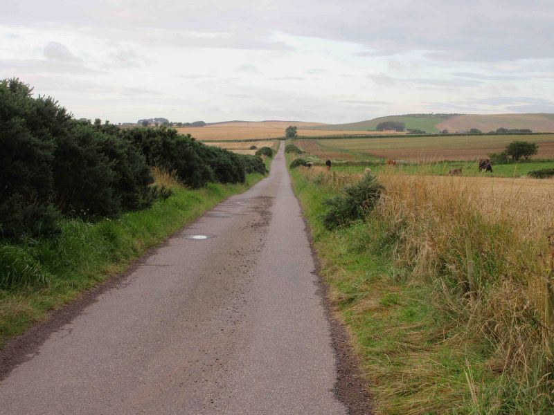
| current | 10:04, 24 August 2020 | | 5,184 × 3,888 (841 KB) | Scotti (talk | contribs) | The C26K in Aberdeenshire heading south-west through the countryside of The Mearns near Barras. |
File usage
The following page uses this file: