File:C37 Auchenbothie Road - Geograph - 5707178.jpg
Jump to navigation
Jump to search

No higher resolution available.
C37_Auchenbothie_Road_-_Geograph_-_5707178.jpg (640 × 480 pixels, file size: 150 KB, MIME type: image/jpeg)
| |||||||||||||||||||||||||
|
Galleries | C37 (Inverclyde) | C17 (Inverclyde) | ||
File history
Click on a date/time to view the file as it appeared at that time.
| Date/Time | Thumbnail | Dimensions | User | Comment | |
|---|---|---|---|---|---|
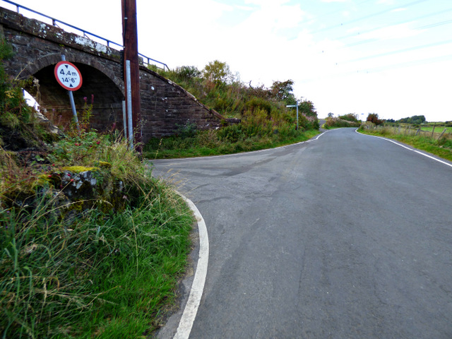
| current | 21:58, 16 February 2021 | | 640 × 480 (150 KB) | Tam nugent (talk | contribs) | At Penny's Arch, which carries the former Glasgow to Princes Pier railway line which closed in 1965. The trackbed now forms part of National Cycle Network Route 75. |
File usage
The following page uses this file: