File:C47 (Inverclyde) Old Largs Road - Geograph - 3100191.jpg
Jump to navigation
Jump to search

No higher resolution available.
C47_(Inverclyde)_Old_Largs_Road_-_Geograph_-_3100191.jpg (640 × 429 pixels, file size: 136 KB, MIME type: image/jpeg)
| |||||||||||||||||||||||||
|
Galleries | C47 (Inverclyde) | C47 (Inverclyde) | ||
File history
Click on a date/time to view the file as it appeared at that time.
| Date/Time | Thumbnail | Dimensions | User | Comment | |
|---|---|---|---|---|---|
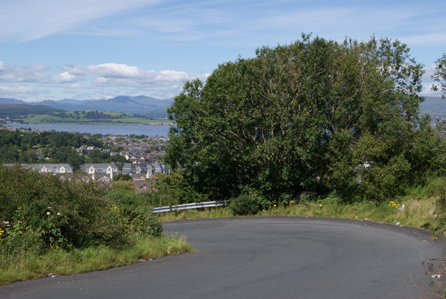
| current | 23:33, 7 February 2021 | | 640 × 429 (136 KB) | Tam nugent (talk | contribs) | The sharp left bend on the descent from Whinhill to Drumfrochar Road. The railway to the former paper mill at Overton once crossed the road here by a level crossing. The Firth of Clyde is in the distance. |
File usage
The following page uses this file:
_Old_Largs_Road_-_Geograph_-_3100191.jpg&oldid=648165)