File:C62 Cumberland Road - Geograph - 466219.jpg
Jump to navigation
Jump to search

No higher resolution available.
C62_Cumberland_Road_-_Geograph_-_466219.jpg (640 × 480 pixels, file size: 86 KB, MIME type: image/jpeg)
| |||||||||||||||||||||||||
|
Galleries | C62 (Inverclyde) | ||
File history
Click on a date/time to view the file as it appeared at that time.
| Date/Time | Thumbnail | Dimensions | User | Comment | |
|---|---|---|---|---|---|
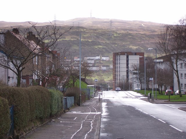
| current | 19:14, 14 February 2021 | | 640 × 480 (86 KB) | Tam nugent (talk | contribs) | Cumberland Road in 2007, looking towards the soon to be demolished Cumberland Court with Branchton housing scheme and the communications mast on Scroggy Bank beyond. |
File usage
The following page uses this file: