File:C63 Barrhill Road - Geograph - 859496.jpg
Jump to navigation
Jump to search

No higher resolution available.
C63_Barrhill_Road_-_Geograph_-_859496.jpg (640 × 480 pixels, file size: 93 KB, MIME type: image/jpeg)
| |||||||||||||||||||||||||
|
Galleries | C63 (Inverclyde) | ||
File history
Click on a date/time to view the file as it appeared at that time.
| Date/Time | Thumbnail | Dimensions | User | Comment | |
|---|---|---|---|---|---|
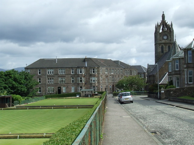
| current | 23:19, 17 February 2021 | | 640 × 480 (93 KB) | Tam nugent (talk | contribs) | Gourock Bowling club is on the left with Castle Mansions and St John's church tower in the distance. |
File usage
The following page uses this file: