File history
Click on a date/time to view the file as it appeared at that time.
| Date/Time | Thumbnail | Dimensions | User | Comment |
|---|
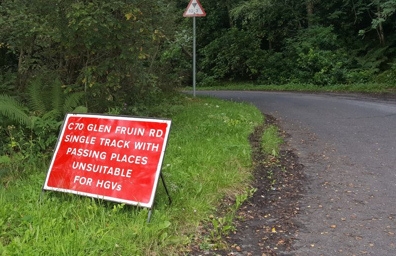
| current | 18:31, 5 September 2017 | 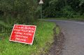 | 2,606 × 1,689 (1.76 MB) | Steven (talk | contribs) | Signage showing the C70 number in use at its junction with the A814 near Faslane. |
File usage
The following 2 pages use this file:
This file contains additional information, probably added from the digital camera or scanner used to create or digitise it.
If the file has been modified from its original state, some details may not fully reflect the modified file.
