File:C80 (Inverclyde) Kilblain Street- Geograph - 6440825.jpg
Jump to navigation
Jump to search

Size of this preview: 460 × 600 pixels. Other resolution: 491 × 640 pixels.
Original file (491 × 640 pixels, file size: 93 KB, MIME type: image/jpeg)
| |||||||||||||||||||||||||
|
Galleries | C80 (Inverclyde) | ||
File history
Click on a date/time to view the file as it appeared at that time.
| Date/Time | Thumbnail | Dimensions | User | Comment | |
|---|---|---|---|---|---|
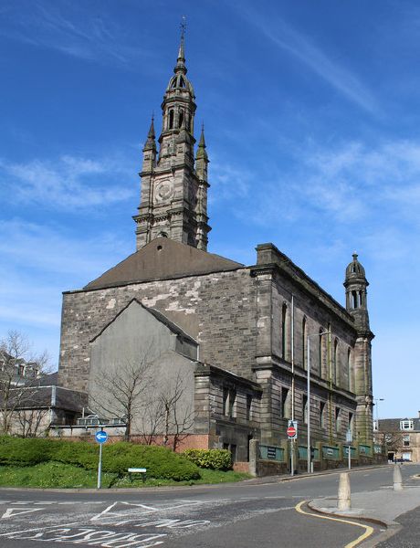
| current | 22:33, 11 February 2021 | | 491 × 640 (93 KB) | Tam nugent (talk | contribs) | Kilblain Street has been much modified in recent years since the creation of Greenock Bus Station. This is the view from the bus station towards George Square, to the right of the former St George's Church. |
File usage
The following page uses this file:
_Kilblain_Street-_Geograph_-_6440825.jpg&oldid=648275)