File:C80 (Inverclyde) Railway bridge on Union Street - Geograph - 1165680.jpg
Jump to navigation
Jump to search

No higher resolution available.
C80_(Inverclyde)_Railway_bridge_on_Union_Street_-_Geograph_-_1165680.jpg (640 × 480 pixels, file size: 90 KB, MIME type: image/jpeg)
| |||||||||||||||||||||||||
|
Galleries | C80 (Inverclyde) | ||
File history
Click on a date/time to view the file as it appeared at that time.
| Date/Time | Thumbnail | Dimensions | User | Comment | |
|---|---|---|---|---|---|
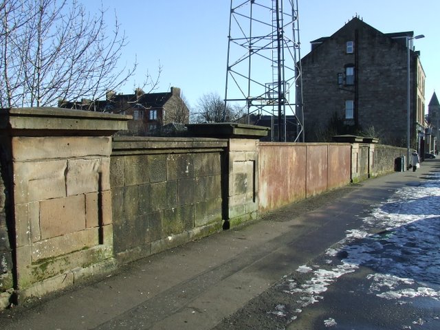
| current | 22:52, 11 February 2021 | | 640 × 480 (90 KB) | Tam nugent (talk | contribs) | Looking east along the north side of the bridge which crosses the disused Princes Pier line as it emerges from the tunnel from South Street. The road has been narrowed at the bridge to reduce the load on the bridge which has a 20t limit. |
File usage
There are no pages that use this file.
_Railway_bridge_on_Union_Street_-_Geograph_-_1165680.jpg&oldid=648281)