File:C80 (Inverclyde) The Old Toll House - Geograph - 5188600.jpg
Jump to navigation
Jump to search

No higher resolution available.
C80_(Inverclyde)_The_Old_Toll_House_-_Geograph_-_5188600.jpg (640 × 427 pixels, file size: 58 KB, MIME type: image/jpeg)
| |||||||||||||||||||||||||
|
Galleries | C80 (Inverclyde) | A770 | ||
File history
Click on a date/time to view the file as it appeared at that time.
| Date/Time | Thumbnail | Dimensions | User | Comment | |
|---|---|---|---|---|---|
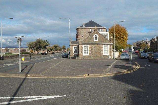
| current | 23:07, 11 February 2021 | | 640 × 427 (58 KB) | Tam nugent (talk | contribs) | The building, located at the sharp end of a wedge of housing between the A770, Eldon Street (left) and the C80, Newark Street. It dates from the early nineteenth century, and marked the boundary between Gourock (near side) and Greenock. |
File usage
The following 2 pages use this file:
_The_Old_Toll_House_-_Geograph_-_5188600.jpg&oldid=648289)