File:Caenby Corner - Geograph - 1316490.jpg

From Roader's Digest: The SABRE Wiki
Jump to navigation Jump to search

Caenby_Corner_-_Geograph_-_1316490.jpg(640 × 427 pixels, file size: 330 KB, MIME type: image/jpeg)

Y topleft.gifY topright.gif
Description:
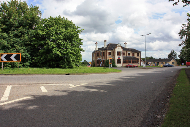
Caenby Corner
This splendid building, once a pub, then a cafe, now available to let, stands just south of the crossroads of the A15 north-south and the A631 east-west roads in north Lincolnshire. Part of the roundabout is visible on the left of the photograph.
Location:53.392044, -0.546746
Road:A15, A631
Date:18 05 2009
Photographer:� Copyright Peter Church and licensed for reuse under this Creative Commons Licence
Source:Geograph

Map

Y btmleft.gifY btmright.gif

Galleries  | A15 | A631 | S2 | Roundabout | Caenby Corner | Lincolnshire

File history

Click on a date/time to view the file as it appeared at that time.

Date/TimeThumbnailDimensionsUserComment
current17:31, 25 August 2010Thumbnail for version as of 17:31, 25 August 2010640 × 427 (330 KB)Bob@romiley1 (talk | contribs)'''Caenby Corner'''<br/>This splendid building, once a pub, then a cafe, now available to let, stands just south of the crossroads of the A15 north-south and the A631 east-west roads in north Lincolnshire. Part of the roundabout is visible on the left of

Metadata

SABRE - The Society for All British and Irish Road Enthusiasts
Discuss - Digest - Discover - Help