File:Cairnie Street, Arbroath, near its junction with Howard Street - Geograph - 1178949.jpg
Jump to navigation
Jump to search

No higher resolution available.
Cairnie_Street,_Arbroath,_near_its_junction_with_Howard_Street_-_Geograph_-_1178949.jpg (640 × 427 pixels, file size: 55 KB, MIME type: image/jpeg)
| |||||||||||||||||||||||||
|
Galleries | A933 | B9095 (Cairnie Road, Arbroath) | Arbroath | ||
File history
Click on a date/time to view the file as it appeared at that time.
| Date/Time | Thumbnail | Dimensions | User | Comment | |
|---|---|---|---|---|---|
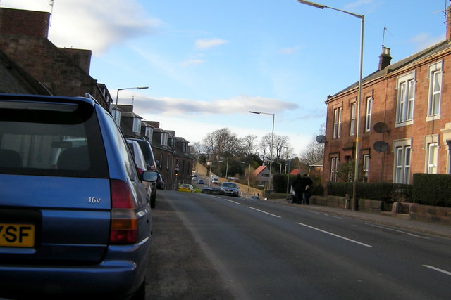
| current | 20:11, 4 December 2016 | | 640 × 427 (55 KB) | Vlad (talk | contribs) | '''Cairnie Street, Arbroath, near its junction with Howard Street''' Picture taken in Cairnie Street looking westwards. |
File usage
The following 3 pages use this file: