File:Calside at Causeyside Street - Geograph - 3518060.jpg
Jump to navigation
Jump to search

No higher resolution available.
Calside_at_Causeyside_Street_-_Geograph_-_3518060.jpg (640 × 480 pixels, file size: 121 KB, MIME type: image/jpeg)
| |||||||||||||||||||||||||
|
Galleries | C76 (Renfrewshire) | B774 | Paisley | ||
File history
Click on a date/time to view the file as it appeared at that time.
| Date/Time | Thumbnail | Dimensions | User | Comment | |
|---|---|---|---|---|---|
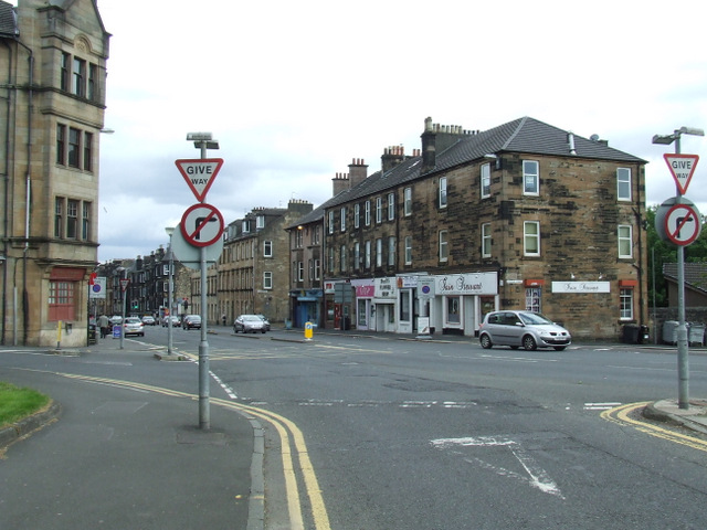
| current | 09:57, 28 June 2021 | | 640 × 480 (121 KB) | Tam nugent (talk | contribs) | '''Calside at Causeyside Street''' Stevenson Street is on the left, Neilston Road on the right. Calside in the foreground. |
File usage
The following 2 pages use this file: