File:Calva Bridge, Workington after 2005 floods - Geograph - 81435.jpg
Jump to navigation
Jump to search

No higher resolution available.
Calva_Bridge,_Workington_after_2005_floods_-_Geograph_-_81435.jpg (640 × 427 pixels, file size: 178 KB, MIME type: image/jpeg)
| |||||||||||||||||||||||||
|
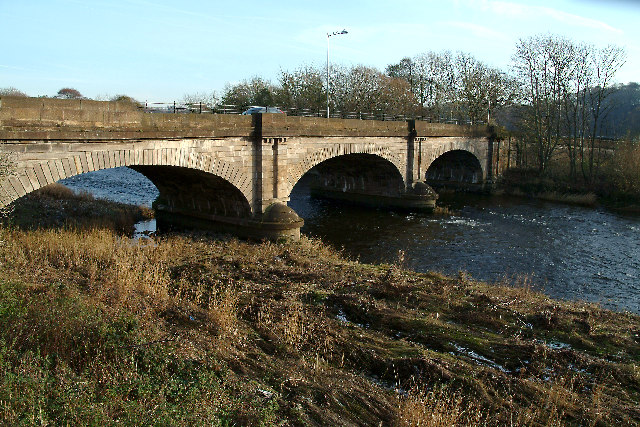
Galleries | A596 | Workington | Calva Bridge | ||
File history
Click on a date/time to view the file as it appeared at that time.
| Date/Time | Thumbnail | Dimensions | User | Comment | |
|---|---|---|---|---|---|
| current | 16:15, 9 April 2010 | | 640 × 427 (178 KB) | Sabristo simon (talk | contribs) | '''Calva Bridge, Workington after 2005 floods'''<br/>Over the River Derwent. Foreground riverbank shows evidence of the 2005 flooding. |
File usage
The following 4 pages use this file: