No higher resolution available.
File history
Click on a date/time to view the file as it appeared at that time.
| Date/Time | Thumbnail | Dimensions | User | Comment |
|---|
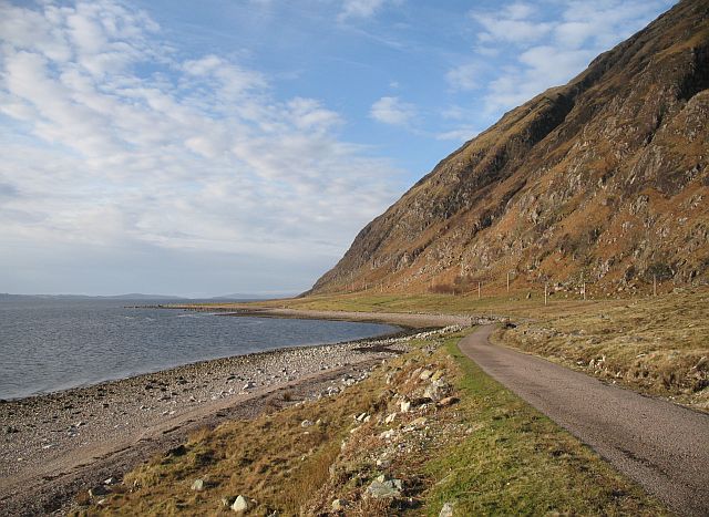
| current | 12:55, 21 April 2010 |  | 640 × 467 (83 KB) | Bob@romiley1 (talk | contribs) | '''Camas a' Ghoirtein Chruinn'''<br/>The B8043 Kingairloch road running along a raised beach at the foot of Meall nan Each. |
File usage
The following page uses this file:
This file contains additional information, probably added from the digital camera or scanner used to create or digitise it.
If the file has been modified from its original state, some details may not fully reflect the modified file.
