File:Campbeltown- Main Street from the quay (C) Chris Downer - Geograph - 3286701.jpg
Jump to navigation
Jump to search

No higher resolution available.
Campbeltown-_Main_Street_from_the_quay_(C)_Chris_Downer_-_Geograph_-_3286701.jpg (640 × 480 pixels, file size: 82 KB, MIME type: image/jpeg)
| |||||||||||||||||||||||||
|
Galleries | A818 (Campbeltown) | Campbeltown | ||
File history
Click on a date/time to view the file as it appeared at that time.
| Date/Time | Thumbnail | Dimensions | User | Comment | |
|---|---|---|---|---|---|
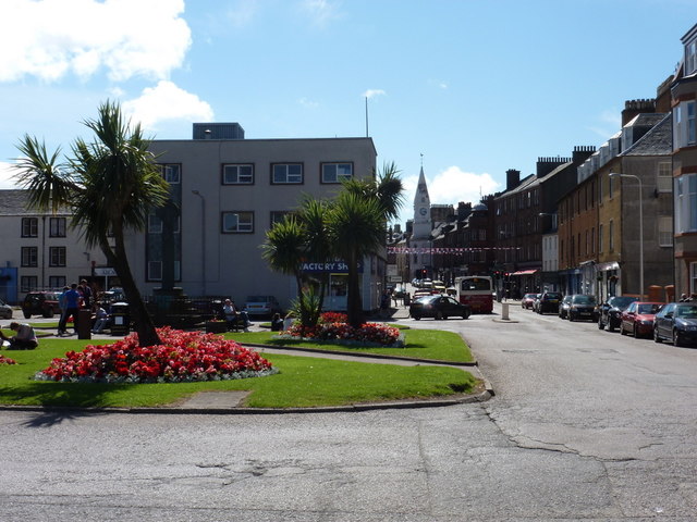
| current | 15:28, 5 April 2014 | | 640 × 480 (82 KB) | Vlad (talk | contribs) | '''Campbeltown- Main Street from the quay (C) Chris Downer '''<br/>Looking up Main Street from alongside the quay, past <a href="http://www.geograph.org.uk/photo/3286688">NR7220 : Campbeltown: square at the bottom of Main Street</a>. |
File usage
The following 2 pages use this file:
_Chris_Downer_-_Geograph_-_3286701.jpg&oldid=369989)