File:Canford Lane (C) Nigel Mykura - Geograph - 1914282.jpg
Jump to navigation
Jump to search

No higher resolution available.
Canford_Lane_(C)_Nigel_Mykura_-_Geograph_-_1914282.jpg (640 × 480 pixels, file size: 76 KB, MIME type: image/jpeg)
| |||||||||||||||||||||||||
|
Galleries | A4162 | ||
File history
Click on a date/time to view the file as it appeared at that time.
| Date/Time | Thumbnail | Dimensions | User | Comment | |
|---|---|---|---|---|---|
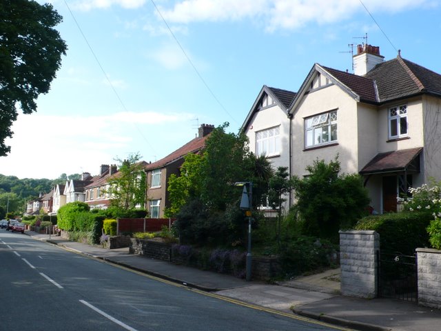
| current | 19:23, 10 September 2014 | | 640 × 480 (76 KB) | Vlad (talk | contribs) | '''Canford Lane (C) Nigel Mykura '''<br/>These houses have an enviable position overlooking Canford Park close to the centre of Westbury on Trym |
File usage
The following 2 pages use this file:
_Nigel_Mykura_-_Geograph_-_1914282.jpg&oldid=385384)