File:Cardonaghy Road - Geograph - 4822563.jpg
Jump to navigation
Jump to search

No higher resolution available.
Cardonaghy_Road_-_Geograph_-_4822563.jpg (640 × 426 pixels, file size: 51 KB, MIME type: image/jpeg)
| |||||||||||||||||||||||||
|
Galleries | B93 (Northern Ireland) | ||
File history
Click on a date/time to view the file as it appeared at that time.
| Date/Time | Thumbnail | Dimensions | User | Comment | |
|---|---|---|---|---|---|
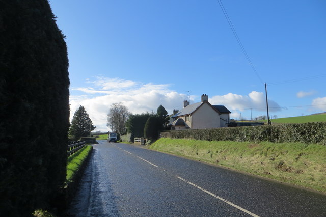
| current | 21:12, 26 January 2017 | | 640 × 426 (51 KB) | Vlad (talk | contribs) | '''Cardonaghy Road''' Looking SSW leaving Cullybackey. |
File usage
The following 2 pages use this file: