File:Carlisle Road, Abington - Geograph - 4113555.jpg
Jump to navigation
Jump to search

No higher resolution available.
Carlisle_Road,_Abington_-_Geograph_-_4113555.jpg (640 × 427 pixels, file size: 73 KB, MIME type: image/jpeg)
| |||||||||||||||||||||||||
File history
Click on a date/time to view the file as it appeared at that time.
| Date/Time | Thumbnail | Dimensions | User | Comment | |
|---|---|---|---|---|---|
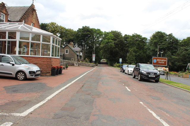
| current | 17:11, 20 August 2016 | | 640 × 427 (73 KB) | Si404 (talk | contribs) | '''Carlisle Road, Abington''' (former A74), just north of where Edinburgh traffic would have turned onto the A73/A702 (just to the right). |
File usage
There are no pages that use this file.