File:Carrick Bridge, Carrick-on-Shannon - Geograph - 2729586.jpg
Jump to navigation
Jump to search

No higher resolution available.
Carrick_Bridge,_Carrick-on-Shannon_-_Geograph_-_2729586.jpg (640 × 474 pixels, file size: 70 KB, MIME type: image/jpeg)
| |||||||||||||||||||||||||
|
Galleries | N4 | ||
File history
Click on a date/time to view the file as it appeared at that time.
| Date/Time | Thumbnail | Dimensions | User | Comment | |
|---|---|---|---|---|---|
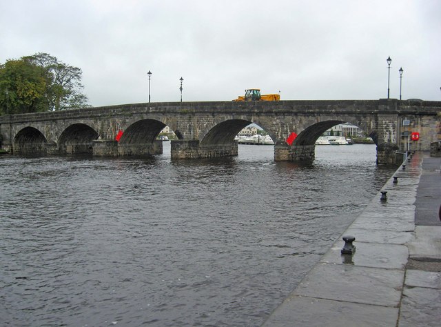
| current | 15:01, 6 May 2014 | | 640 × 474 (70 KB) | Viator (talk | contribs) | Carrick Bridge - seen here from the Co. leitrim side - carries the N4 road over the River Shannon. |
File usage
The following 2 pages use this file: