File:Carrigaline Road - Geograph - 757678.jpg
Jump to navigation
Jump to search

No higher resolution available.
Carrigaline_Road_-_Geograph_-_757678.jpg (640 × 480 pixels, file size: 104 KB, MIME type: image/jpeg)
| |||||||||||||||||||||||||
|
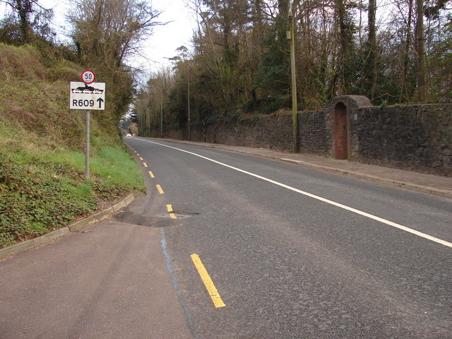
Galleries | R855 | R609 | Cork | Speed limit sign/50 km/h | Route Confirmation Sign | ||
File history
Click on a date/time to view the file as it appeared at that time.
| Date/Time | Thumbnail | Dimensions | User | Comment | |
|---|---|---|---|---|---|
| current | 12:04, 28 May 2016 | | 640 × 480 (104 KB) | C2r (talk | contribs) | '''Carrigaline Road, Cork''' |