File:Carrigenagh Bridge - Geograph - 2314242.jpg
Jump to navigation
Jump to search

No higher resolution available.
Carrigenagh_Bridge_-_Geograph_-_2314242.jpg (640 × 465 pixels, file size: 53 KB, MIME type: image/jpeg)
| |||||||||||||||||||||||||
|
Galleries | Whitewater Scenic Loop | C314 (Northern Ireland) | ||
File history
Click on a date/time to view the file as it appeared at that time.
| Date/Time | Thumbnail | Dimensions | User | Comment | |
|---|---|---|---|---|---|
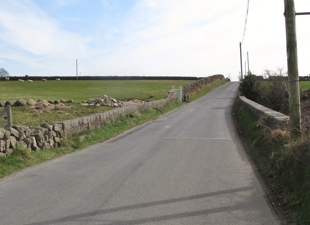
| current | 10:20, 20 March 2017 | | 640 × 465 (53 KB) | Si404 (talk | contribs) | '''Carrigenagh Bridge''' This spans the deeply entrenched Cross Water River. |
File usage
The following 3 pages use this file: