File:Castle Street, Liverpool (C) Malc McDonald - Geograph - 3229334.jpg
Jump to navigation
Jump to search

No higher resolution available.
Castle_Street,_Liverpool_(C)_Malc_McDonald_-_Geograph_-_3229334.jpg (640 × 480 pixels, file size: 90 KB, MIME type: image/jpeg)
| |||||||||||||||||||||||||
File history
Click on a date/time to view the file as it appeared at that time.
| Date/Time | Thumbnail | Dimensions | User | Comment | |
|---|---|---|---|---|---|
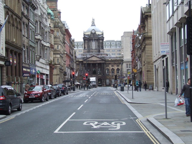
| current | 20:24, 29 September 2014 | | 640 × 480 (90 KB) | Vlad (talk | contribs) | '''Castle Street, Liverpool (C) Malc McDonald '''<br/>Castle Street, in the centre of Liverpool. The building at the far end of the street is Liverpool's town hall. |
File usage
The following 3 pages use this file:
_Malc_McDonald_-_Geograph_-_3229334.jpg&oldid=388105)