File:Castle Street - Geograph - 405758.jpg
Jump to navigation
Jump to search

No higher resolution available.
Castle_Street_-_Geograph_-_405758.jpg (640 × 427 pixels, file size: 253 KB, MIME type: image/jpeg)
| |||||||||||||||||||||||||
|
Galleries | B9145 (Forfar) | unclassified | Forfar | ||
File history
Click on a date/time to view the file as it appeared at that time.
| Date/Time | Thumbnail | Dimensions | User | Comment | |
|---|---|---|---|---|---|
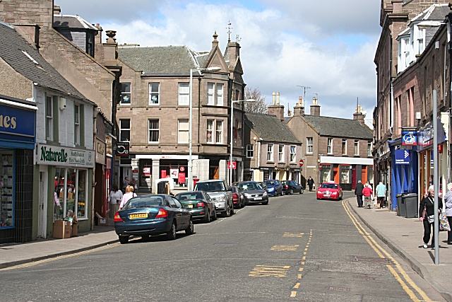
| current | 19:50, 11 December 2016 | | 640 × 427 (253 KB) | Vlad (talk | contribs) | '''Castle Street''' This is one of the main streets of Forfar, the others being East and West High Streets. It links the Cross with the alleged site of King Malcolm Canmore's castle, which stands on a small hill to the east of Castle Street. The old na... |
File usage
The following 4 pages use this file: