File:Cathcart Street - Geograph - 3715305.jpg
Jump to navigation
Jump to search

No higher resolution available.
Cathcart_Street_-_Geograph_-_3715305.jpg (640 × 480 pixels, file size: 150 KB, MIME type: image/jpeg)
| |||||||||||||||||||||||||
|
Galleries | B7054 (Greenock Centre) | Greenock | ||
File history
Click on a date/time to view the file as it appeared at that time.
| Date/Time | Thumbnail | Dimensions | User | Comment | |
|---|---|---|---|---|---|
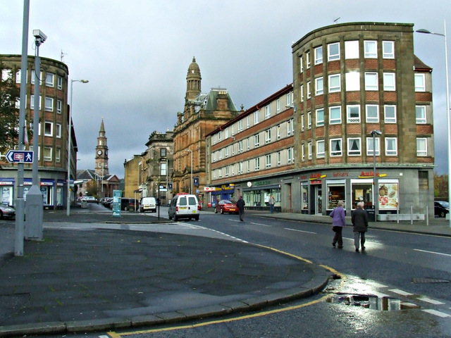
| current | 23:06, 27 May 2021 | | 640 × 480 (150 KB) | Tam nugent (talk | contribs) | '''Cathcart Street''' The original B7054, at the junction with Station Avenue. |
File usage
There are no pages that use this file.