File:Cattistock- detail of Cattistock Halt signpost - Geograph - 2244433.jpg
Jump to navigation
Jump to search

No higher resolution available.
Cattistock-_detail_of_Cattistock_Halt_signpost_-_Geograph_-_2244433.jpg (640 × 481 pixels, file size: 108 KB, MIME type: image/jpeg)
| |||||||||||||||||||||||||
|
Galleries | Cattistock Halt | Dorset | Fingerpost | ||
File history
Click on a date/time to view the file as it appeared at that time.
| Date/Time | Thumbnail | Dimensions | User | Comment | |
|---|---|---|---|---|---|
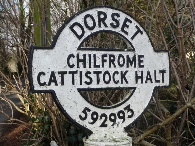
| current | 22:38, 28 September 2016 | | 640 × 481 (108 KB) | C2r (talk | contribs) | '''Cattistock- detail of Cattistock Halt signpost''' A close-up of the finial on the fingerpost, showing the location name and six-figure grid reference. |
File usage
The following page uses this file: