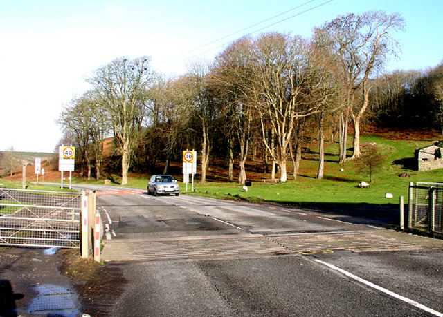
File:Cattle Grid at the start of the Pant St Brides Road - Geograph - 286181.jpg
Jump to navigation
Jump to search

No higher resolution available.
Cattle_Grid_at_the_start_of_the_Pant_St_Brides_Road_-_Geograph_-_286181.jpg (640 × 459 pixels, file size: 150 KB, MIME type: image/jpeg)
| |||||||||||||||||||||||||
|
Galleries | B4265 | ||
File history
Click on a date/time to view the file as it appeared at that time.
| Date/Time | Thumbnail | Dimensions | User | Comment | |
|---|---|---|---|---|---|
| current | 12:54, 24 February 2010 | | 640 × 459 (150 KB) | Jeni (talk | contribs) | {{Information |description = Cattle Grid at the start of the Pant St Brides Road |day = 27 |month = 11 |year = 2006 |photographer = © Copyright [http://www.geograph.org.uk/profile/8218 Tony Hodge and licensed for reuse under [htt |
File usage
The following page uses this file: