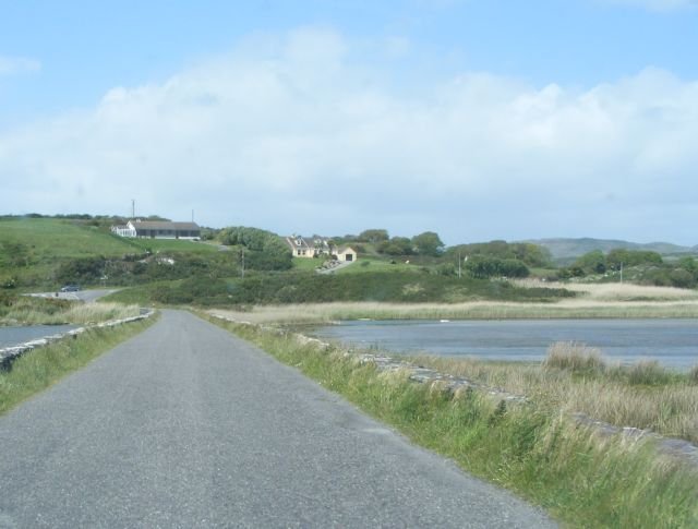
Causeway across estuary between Dough and Lissagriffin Townlands The causeway crosses the tidal estuary that lies behind the dunes at Barley Cove. The rivers that feed into the estuary are un-named on all Ordnance Survey Ireland maps, present and historic.
'''Causeway across estuary between Dough and Lissagriffin Townlands''' The causeway crosses the tidal estuary that lies behind the dunes at Barley Cove. The rivers that feed into the estuary are un-named on all Ordnance Survey Ireland maps, present and...
File usage
There are no pages that use this file.
Metadata
This file contains additional information, probably added from the digital camera or scanner used to create or digitise it.
If the file has been modified from its original state, some details may not fully reflect the modified file.
