File:Causeway arches - Geograph - 309958.jpg
Jump to navigation
Jump to search

No higher resolution available.
Causeway_arches_-_Geograph_-_309958.jpg (640 × 480 pixels, file size: 73 KB, MIME type: image/jpeg)
| |||||||||||||||||||||||||
|
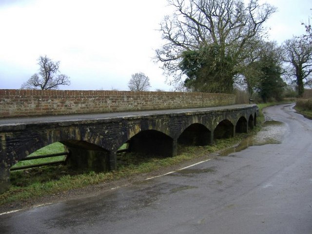
Galleries | Maud Heaths Causeway | ||
File history
Click on a date/time to view the file as it appeared at that time.
| Date/Time | Thumbnail | Dimensions | User | Comment | |
|---|---|---|---|---|---|
| current | 18:05, 4 June 2010 | | 640 × 480 (73 KB) | Rileyrob (talk | contribs) | '''Causeway arches'''<br/>A closer look at this unusual raised walkway,(shortly after a flood has subsided). |
File usage
The following page uses this file: