File:Chalfont St Giles- Junction of Roughwood Lane with Burtons Lane - Geograph - 2421970.jpg
Jump to navigation
Jump to search

No higher resolution available.
Chalfont_St_Giles-_Junction_of_Roughwood_Lane_with_Burtons_Lane_-_Geograph_-_2421970.jpg (640 × 477 pixels, file size: 67 KB, MIME type: image/jpeg)
| |||||||||||||||||||||||||
|
Galleries | MC34 (Buckinghamshire) | MC39 (Buckinghamshire) | Fingerpost | ||
File history
Click on a date/time to view the file as it appeared at that time.
| Date/Time | Thumbnail | Dimensions | User | Comment | |
|---|---|---|---|---|---|
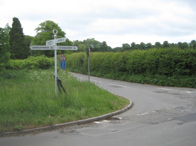
| current | 10:51, 11 March 2017 | | 640 × 477 (67 KB) | Si404 (talk | contribs) | '''Chalfont St Giles- Junction of Roughwood Lane with Burtons Lane''' A traditional Bucks County Council signpost indicates directions and distances to Chorleywood, Chalfont St Giles, Little Chalfont and Latimer, the latter by Lodge Lane which is behin... |
File usage
The following 3 pages use this file: