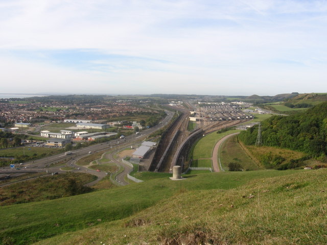
File:Channel tunnel terminus from Castle Hill - Geograph - 315408.jpg
Jump to navigation
Jump to search

No higher resolution available.
Channel_tunnel_terminus_from_Castle_Hill_-_Geograph_-_315408.jpg (640 × 480 pixels, file size: 75 KB, MIME type: image/jpeg)
| |||||||||||||||||||||||||
|
Galleries | M20 | E15 | Channel Tunnel | ||
File history
Click on a date/time to view the file as it appeared at that time.
| Date/Time | Thumbnail | Dimensions | User | Comment | |
|---|---|---|---|---|---|
| current | 10:39, 18 September 2009 | | 640 × 480 (75 KB) | Abeaton (talk | contribs) | {{Information |description = Channel tunnel terminus from Castle Hill |day = 09 |month = 10 |year = 2005 |photographer = © Copyright [http://www.geograph.org.uk/profile/9780 Alan Kent] and licensed for reuse under [http://creativ |
File usage
The following 4 pages use this file: