File:Chapel Bridge crossing Bevills Leam - Geograph - 3227662.jpg
Jump to navigation
Jump to search

No higher resolution available.
Chapel_Bridge_crossing_Bevills_Leam_-_Geograph_-_3227662.jpg (640 × 480 pixels, file size: 65 KB, MIME type: image/jpeg)
| |||||||||||||||||||||||||
|
Galleries | C67 (Cambridgeshire) | Cambridgeshire | Chapel Bridge | ||
File history
Click on a date/time to view the file as it appeared at that time.
| Date/Time | Thumbnail | Dimensions | User | Comment | |
|---|---|---|---|---|---|
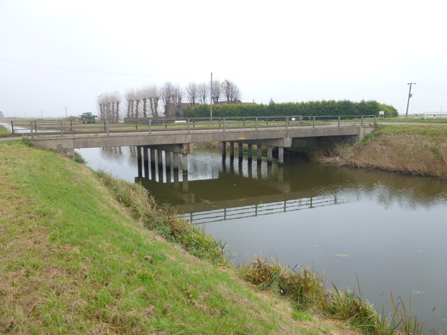
| current | 09:56, 31 December 2017 | | 640 × 480 (65 KB) | C2r (talk | contribs) | '''Chapel Bridge crossing Bevill's Leam''' South of Whittlesey at the end of Turningtree Road. The drain is known as The Twenty Foot Drain further to the east. |
File usage
The following 3 pages use this file: