File:Charlestown Road (C) Stephen McKay - Geograph - 2336480.jpg
Jump to navigation
Jump to search

No higher resolution available.
Charlestown_Road_(C)_Stephen_McKay_-_Geograph_-_2336480.jpg (640 × 428 pixels, file size: 70 KB, MIME type: image/jpeg)
| |||||||||||||||||||||||||
|
Galleries | A3060 (St Austell) | unclassified | ||
File history
Click on a date/time to view the file as it appeared at that time.
| Date/Time | Thumbnail | Dimensions | User | Comment | |
|---|---|---|---|---|---|
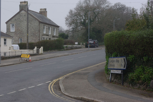
| current | 14:24, 19 July 2014 | | 640 × 428 (70 KB) | Vlad (talk | contribs) | '''Charlestown Road (C) Stephen McKay '''<br/>Looking towards St Austell from the junction with Church Road. |
File usage
The following 2 pages use this file:
_Stephen_McKay_-_Geograph_-_2336480.jpg&oldid=381217)