File:Cherry Tree Farm, Chartridge - Geograph - 155025.jpg
Jump to navigation
Jump to search

No higher resolution available.
Cherry_Tree_Farm,_Chartridge_-_Geograph_-_155025.jpg (640 × 381 pixels, file size: 52 KB, MIME type: image/jpeg)
| |||||||||||||||||||||||||
|
Galleries | MC2 (Buckinghamshire) | ||
File history
Click on a date/time to view the file as it appeared at that time.
| Date/Time | Thumbnail | Dimensions | User | Comment | |
|---|---|---|---|---|---|
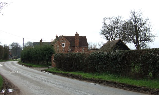
| current | 10:43, 11 March 2017 | | 640 × 381 (52 KB) | Si404 (talk | contribs) | '''Cherry Tree Farm, Chartridge''' This farm is opposite another farm (Chartridge End Farm) that mark the beginning of the village of Chartridge coming from a NW direction (travelling SE). (I was a few yards OoS when I took this shot as the farm is alm... |
File usage
The following page uses this file: