File:Chichester Bypass 1946.JPG
Jump to navigation
Jump to search

No higher resolution available.
Chichester_Bypass_1946.JPG (800 × 486 pixels, file size: 84 KB, MIME type: image/jpeg)
File history
Click on a date/time to view the file as it appeared at that time.
| Date/Time | Thumbnail | Dimensions | User | Comment | |
|---|---|---|---|---|---|
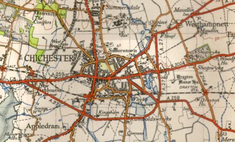
| current | 10:41, 4 October 2009 | | 800 × 486 (84 KB) | Ajk1982 (talk | contribs) | {{Information |description = OS map showing Chichester bypass in 1946 |day = |month = |year = 1946 |photographer = |source = Ordnance Survey |road = A27 |lat = |lng = }} |
File usage
The following page uses this file: