File:Chippermore Port (C) Andy Farrington - Geograph - 2222709.jpg
Jump to navigation
Jump to search

No higher resolution available.
Chippermore_Port_(C)_Andy_Farrington_-_Geograph_-_2222709.jpg (640 × 480 pixels, file size: 82 KB, MIME type: image/jpeg)
| |||||||||||||||||||||||||
|
Galleries | A747 | Solway Coast Heritage Trail | South West Coastal 300 | ||
File history
Click on a date/time to view the file as it appeared at that time.
| Date/Time | Thumbnail | Dimensions | User | Comment | |
|---|---|---|---|---|---|
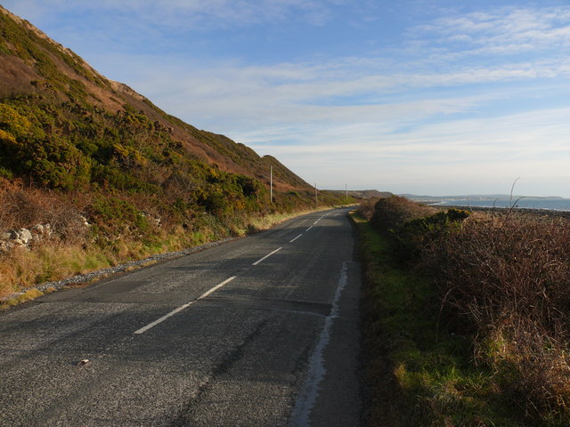
| current | 15:55, 29 March 2014 | | 640 × 480 (82 KB) | Vlad (talk | contribs) | '''Chippermore Port (C) Andy Farrington '''<br/>View along the A747 in the direction of Port William taken next to the beach at the port. |
File usage
The following page uses this file:
_Andy_Farrington_-_Geograph_-_2222709.jpg&oldid=506055)