File:Chollerford Bridge - Geograph - 1655683.jpg
Jump to navigation
Jump to search

No higher resolution available.
Chollerford_Bridge_-_Geograph_-_1655683.jpg (640 × 405 pixels, file size: 78 KB, MIME type: image/jpeg)
| |||||||||||||||||||||||||
|
Galleries | B6318 | Hadrians Wall Tourist Trail | Chollerford Bridge | ||
File history
Click on a date/time to view the file as it appeared at that time.
| Date/Time | Thumbnail | Dimensions | User | Comment | |
|---|---|---|---|---|---|
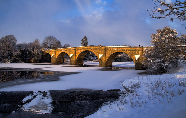
| current | 13:37, 12 July 2010 | | 640 × 405 (78 KB) | Bob@romiley1 (talk | contribs) | '''Chollerford Bridge'''<br/>The frozen River North Tyne at Chollerford Bridge. For a view from the bridge see <a href="http://www.geograph.org.uk/photo/1655696">NY9270 : River North Tyne</a>. |
File usage
The following 3 pages use this file: